
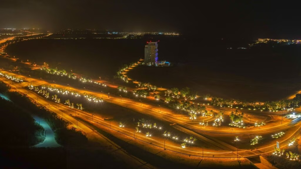
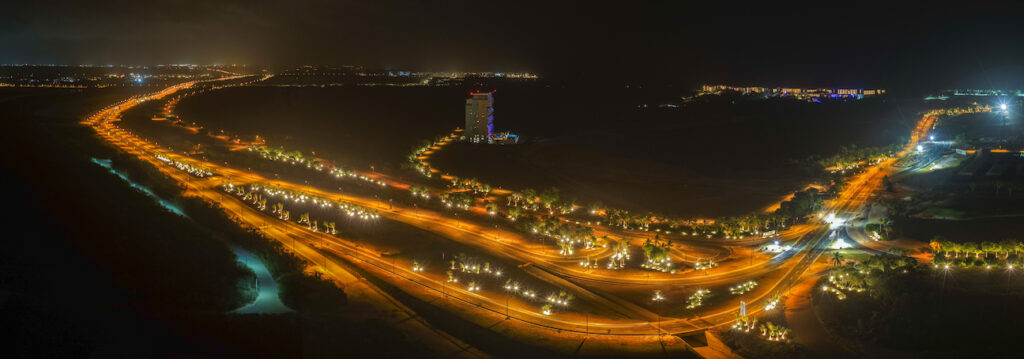
The new central boulevard improves mobility within Cap Cana and responds to a need that began to be anticipated years ago. Its opening shows how urban planning allows a city to adapt its infrastructure as it grows.
A city’s growth can also be measured by the way people move through it.
In Cap Cana, the new central boulevard is transforming connections between different areas of the Destination City. It reduces travel times, creates more direct routes, and introduces new solutions for safety and mobility.
However, there is something distinctive about this new roadway: it was not conceived only when today’s need became apparent.
Its route was already part of Cap Cana’s original planning. In fact, a portion of it had begun to be developed before the pandemic.
The growth of recent years accelerated the need to complete it.
From the master plan to today’s city
Cap Cana was conceived from the beginning around a master plan. It established land uses, infrastructure, road connections, and areas designated for future development.
The first major phase covered approximately 35 square kilometers. Many of the areas that now concentrate the Destination City’s residential, tourism, and hotel activity are located within this section.
However, the overall plan covered a much larger territory.
Today, Cap Cana has more than 120 square kilometers of planned territory and cumulative investment exceeding US$4.7 billion.
In recent years, the pace of growth has accelerated. Alongside its tourism and hotel offerings, real estate development has become increasingly active. In addition, many properties that once served as second or third homes have become permanent residences.
That shift is also changing mobility needs.
What changes with Cap Cana’s new boulevard?
One of the most visible effects is shorter travel times.
The new connection provides easier access to different areas of the Destination City. It also streamlines travel to hotel and residential areas such as Punta Espada, Eden Roc Cap Cana, and The St. Regis Cap Cana Resort.
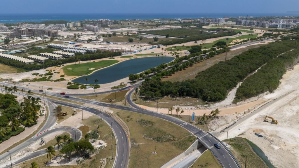
The boulevard features four lanes, two in each direction, separated by a central median.
This configuration improves traffic flow while separating vehicles traveling in opposite directions, contributing to greater safety along the route.
The difference can also be seen in the surrounding environment. Expansive green areas line the roadway and form an integral part of the new boulevard’s design.
Safety is also part of the design
The roadway was not designed as one long, straight stretch.
Gentle curves along the route are intended to help keep drivers attentive. The design also provides the necessary visibility for drivers to anticipate intersections, U-turns, and changes in the roadway.
Signage plays another important role.
Vertical signs and pavement markings have been incorporated to help drivers identify speed changes and other elements of the route in advance.
In this way, the infrastructure itself becomes a tool for prevention.
More ways to move around the city
Mobility within Cap Cana does not depend exclusively on cars.
The Destination City has dedicated routes for pedestrians, bicycles, scooters, and golf carts. These pathways make it possible to travel short distances without necessarily sharing the same space as conventional vehicles.
A plan to add approximately 20 kilometers of additional micromobility pathways is also currently being implemented.
The new boulevard incorporates another important feature: three underpasses for golf carts and other users of these routes.
At these points, the pathways run beneath the boulevard, avoiding direct crossings with the four lanes of vehicular traffic.
It is a solution that keeps different forms of mobility connected as the road network continues to expand.
The infrastructure came first
Cap Cana’s ability to respond to its current growth is closely tied to decisions made during its earliest stages.
Before reaching today’s level of real estate development, the Destination City invested in essential systems designed to support future growth.
Today, it has its own aqueduct, drinking water treatment system, wastewater treatment and reuse system, power generation, telecommunications, and other essential services.
The infrastructure developed in Cap Cana is valued at more than US$1.2 billion.
This installed capacity allows new projects, residents, and services to be integrated into a structure that was designed for demand greater than what existed during the city’s early years.
A city whose way of life has also changed
Cap Cana was born with a strong tourism focus. Hotels, golf, the marina, and vacation residences were essential parts of its development.
Today, that dynamic is broader.
An increasing number of people are choosing the Destination City as their primary residence. As a result, growth also means responding to everyday needs related to education, food, healthcare, connectivity, mobility, and services.
Road infrastructure is part of that transformation.
A family living within a city needs to be able to get to school, go out to eat, exercise, access services, or travel home without real estate growth turning those everyday journeys into a challenge.
That is why expanding a roadway is about more than simply adding lanes.
Designed to evolve
No city remains the same for decades.
Technology changes, as do the ways people work and move around. What people consider quality of life also evolves.
A master plan, therefore, cannot be a static structure. Its value also lies in allowing a city to evolve without losing the order and vision on which it was originally conceived.
Cap Cana’s new central boulevard is a visible example of that process.
The roadway responds to a need that exists today, but it began to take shape long before that need became evident.